Plan your getaway!
There are a number of tools available to you, to inspire you or help you plan your getaway or stay in the Maskoutan area.
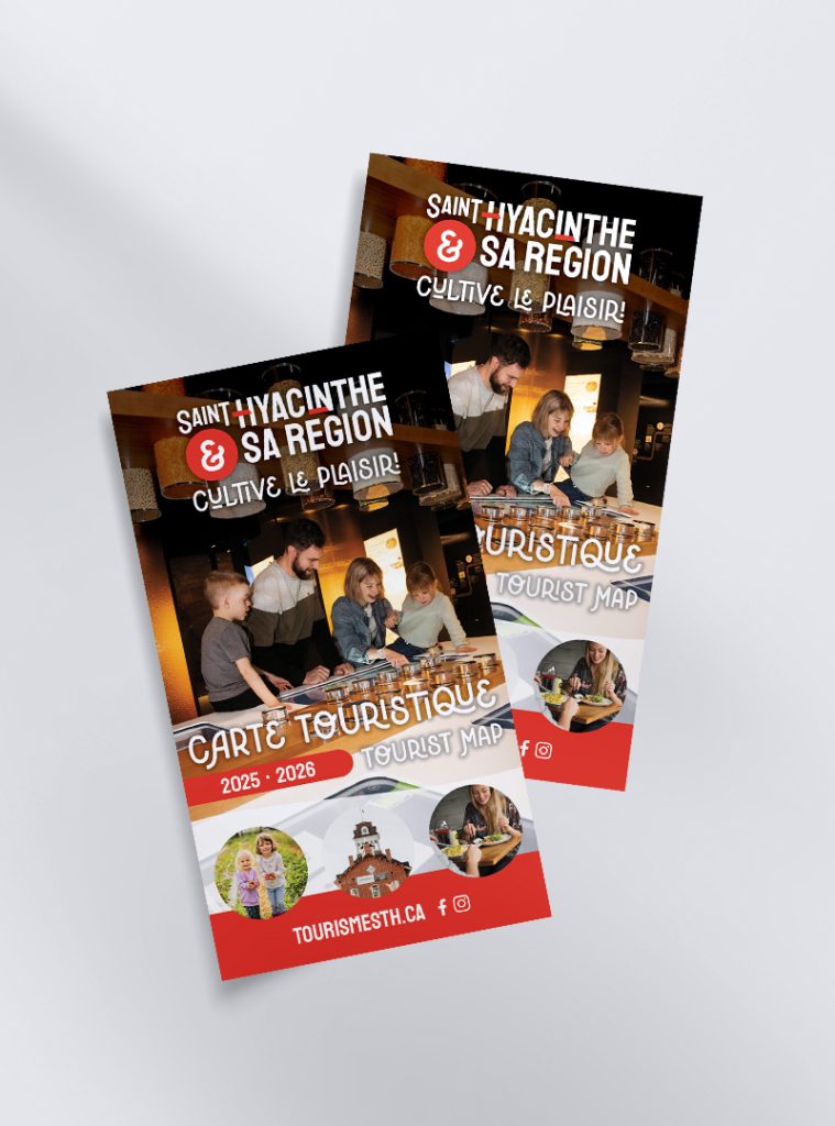
Tourist map
Consult the digital version of the tourist map of the area, available below. It shows where activities, food producers/processors, restaurants and accommodations are located.

Map of cycling routes
Consult the digital version of the map of cycling routes in the area. The La Maskoutaine map shows four road circuits that will take you through the Les Maskoutains RCM’s 17 municipalities. It totals 403 km of designated shared roadways. The circuits vary in length, from 68 to 100 km. Bike paths and bike lanes are also available in urban areas.

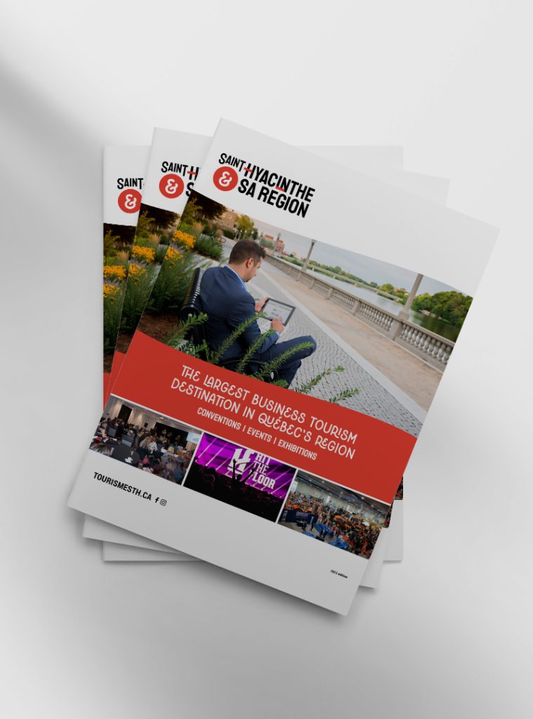
Tourism and convention brochure
Learn all about the advantages and services of our region for meetings, conventions and exhibitions.

Online chat
You can chat with one of our destination advisors at any time on our website. They will be happy to answer your questions and tell you about the region’s must-sees.

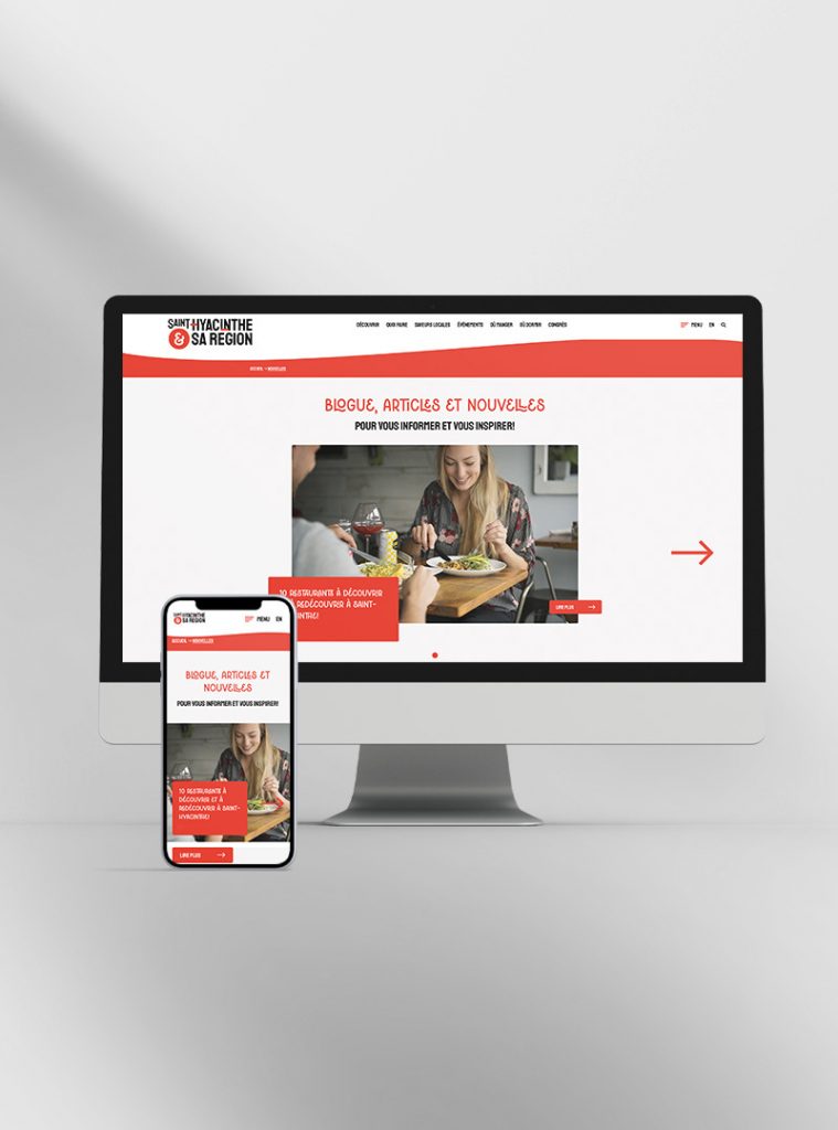
Blog
Browse the articles on our blog as inspiration for your next trip to the Saint-Hyacinthe area.

Thematic routes
Choose from among several itineraries to discover and explore the area. Our tourism circuits will take you to meet passionate producers, discover unique attractions and a rich history while admiring the scenic sights: fields as far as the eye can see, roads hugging winding rivers, the Yamaska River’s verdant valleys and the beautiful Monteregian Hills.
